Deadline for land registry
The methods of declaration and the procedure.
The land registry (Cadastre) is in the final phase of completion, with Corfu residents having approximately 4 more months to declare their properties. The Ministry of Digital Governance and the responsible Deputy Minister of Digital Governance, Konstantinos Kyranakis, as well as the land registry officials, have communicated at every opportunity that there will be no extension.
Property owners in Corfu have until November 30th.
The process is generally easy and quick, with old bureaucratic hurdles now being a thing of the past. The land registry provides a range of digital tools, and property owners now need only a minimal amount of time to declare their property, either in person or with just a few clicks, adding value to the efforts and achievements of a lifetime.
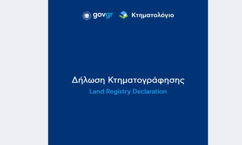
Property owners can declare their property using 3 simple methods: either through the new application at https://dilosi.ktimatologio.gr, via the Digital Cadastre Map at https://maps.ktimatologio.gr/, or at a Land Registry Office.
● How do I declare my property using the new application dilosi.ktimatologio.gr?
To facilitate citizens, the Ministry of Digital Governance and the Hellenic Cadastre have activated a new digital application at https://dilosi.ktimatologio.gr, through which all citizens can declare their property quickly and online, without needing an engineer or incurring additional costs.
The entire property declaration process is completed through 4 digital steps:
First, the user visits the new interface at https://dilosi.ktimatologio.gr, either directly or via a redirect from the Digital Map, and logs in with their taxisnet credentials. Then, they select the option to create a new declaration.
%20(1)1723024163.gif)
Second, the user fills in their personal details, indicates whether they want to appoint a representative, and accepts via a declaration of responsibility the validity of their property declaration and the related information.
1723024202.gif)
1723024209.gif)
Third, once the user has filled in their details and located their property on the map, they will need to complete the application form and upload the supporting documents that prove their ownership.
1723024281.gif)
Fourth, the user completes the property declaration submission easily, quickly, and without bureaucratic obstacles.
1723024324.gif)
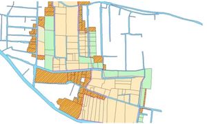
What is the Digital Map? How do I locate and declare my property using https://maps.ktimatologio.gr/?
On the website ktimatologio.gr, through the application "Digital Cadastre Map" at maps.ktimatologio.gr, property owners can locate the property they wish to declare as it is represented in the preliminary backgrounds provided by the cadastral contractor.
- How does it work?
The user can visit the application at maps.ktimatologio.gr and navigate the maps, similar to how they would use Google Maps, to locate their property by zooming in. By clicking on the plot of land they are interested in, available information such as perimeter, coordinates, and area in square metres will be displayed as recorded so far.
If the user agrees with the preliminary representation or if there are minor discrepancies in the boundaries, there is no need to have a topographic map from an engineer to proceed with the declaration, thus avoiding additional costs.
By clicking on the declaration link, they can continue the process online by submitting the contract and paying 35 euros per right with a card. Importantly, for individuals with more than two rights in rural areas within the same municipality, there is no additional charge.
- What do I do if I disagree with the representation of my property?
If the boundaries of a plot of land as shown on maps.ktimatologio.gr are incorrect, users can use the polygon drawing function to create their own temporary cadastral extract by drawing the actual boundaries of their plot on the map.
● How do I declare my property at a Cadastre Office?
You can declare your property by visiting a Cadastre Office. There, the staff will provide detailed instructions on how to locate your property and assist with special cases, such as adverse possession and inheritance.
● What do I do if I don't have a contract?
In rural areas, it is common for many owners not to have contracts proving their ownership.
- Case of ownership by adverse possession:
The citizen must submit two documents with their declaration: the E9 form from any year that declares the ownership and a second document proving twenty years of possession, such as a sworn affidavit from a witness or another proof document (e.g., a preliminary agreement, mortgage).
- What should I do if I haven't accepted an inheritance yet or if I don't have a certificate of inheritance?
In the case of intestate succession, the following documents are required:
- Death certificate
- Certificate of closest relatives
- Certificate of no will publication
- Certificate of no renunciation
- Title of ownership of the deceased
In the case of testamentary succession, the following documents are required:
- Death certificate
- Copy of the published will or the decision declaring it valid, if it is a holographic will
- Certificate of no publication of another will
- Certificate of no renunciation
- Title of ownership of the deceased
● How can I check if forest maps affect me?
The Digital Map allows you to view the approved and posted forest maps. This enables each property owner to check whether their property is affected. The process is very simple: activate the "layers" icon and choose to view either the "forest maps" or the Natura areas.