Authorities on high alert - access to certain areas prohibited tomorrow due to risk of wildfires
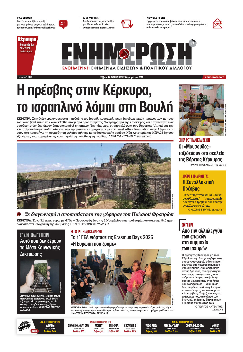
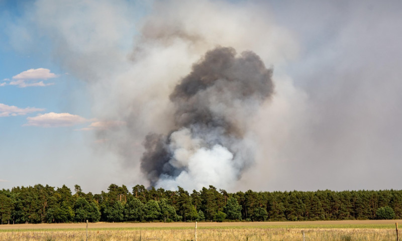 Photo: Pixabay
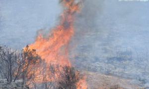
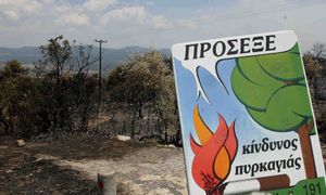
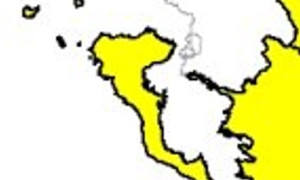
CORFU. For tomorrow, Friday, 17 July, the wildfire risk is forecast to be High (Category 3) for the Regional Unit of Corfu.
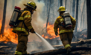
According to the Wildfire Risk Forecast Map issued by the General Secretariat for Civil Protection, the wildfire risk for Friday, 17 July 2026 is forecast to be High (Category 3) for the Regional Unit of Corfu.
The relevant government agencies, together with the services of the Regional Unit of Corfu, are on heightened civil protection alert in order to respond immediately to any wildfire incidents.
We also inform you that the movement, presence, and access of persons and vehicles are prohibited in Natura 2000 protected areas, as well as forest ecosystems, parks, and groves defined under Law 998/1979.
The restriction applies on Friday, 17 July from 1:00 p.m. until 11:59 p.m., in the following areas:
South Corfu Municipality
- Issos Cedar Forest (Korission Sand Dunes)
- Agios Mattheos Forest
- Arkoudilas
- Theofylaktos area of the Pavliana Community
Central Corfu & Diapontia Islands Municipality
- Lazaretto Island
- Kombitsi
- Agioi Deka
- Stavros
- Agios Panteleimon area of the Kato Garouna Community
Paxos Municipality
- Erimitis
- Panagia Island
- Agios Nikolaos Island
Penalties
Anyone violating the above prohibition will be subject to an administrative fine of €300.
Exemptions
The prohibition does not apply to:
- Residents or employees of the affected areas, solely for travel to and from their home or workplace.
- People travelling on the public road network, unless the competent authorities decide to close specific road sections in accordance with applicable legislation.
Enforcement
The following authorities are responsible for enforcing the restrictions and issuing fines:
- Corfu Police Directorate
- Corfu Fire Service Command
- Corfu Forestry Service
Immediate Fire Prevention Advice
If you are in the countryside
- Do not burn rubbish, dry grass, or branches during the summer.
- Remove dead branches from trees and shrubs.
- Do not use outdoor barbecues in forests or areas with dry vegetation.
- Avoid work that may cause sparks or fire (such as welding or using angle grinders).
- Do not discard lit cigarettes.
- Do not leave rubbish in forests, as it may ignite.
- Respect access restrictions during periods of high fire danger.
- Avoid beekeeping activities during these high-risk periods.
If your home is in or near a forest
- Create a firebreak by clearing dry grass, leaves, pine needles, and branches within at least a 10-metre radius around your home.
- Prune trees up to approximately 3 metres from the ground, depending on their condition.
- Remove dead branches from trees and shrubs.
- Ensure tree branches do not touch walls, roofs, or balconies, maintaining at least a 5-metre distance.
- Thin trees so that their crowns are at least 3 metres apart. For greater protection, clear trees and shrubs within at least 10 metres of the building where permitted by forestry legislation.
- Avoid installing plastic gutters or exterior plastic pipes.
- Do not use flammable shutters on windows or balcony doors.
- Ensure chimney caps and ventilation covers are made of non-combustible materials to prevent sparks from entering.
- Do not store flammable materials near the house.
- Store firewood in enclosed, protected areas.
- Do not install uncovered fuel tanks close to your home.
- Keep suitable fire extinguishers and maintain them properly.
- Have a garden hose long enough to reach the areas around your property.
- Ideally, keep a water tank, a pump that can operate without electricity, and a water hose available.
If you spot a fire
Immediately call the Fire Service (199) or 112 and provide:
- Your exact location.
- The exact location of the fire.
- The direction in which the fire is spreading.
- The type of vegetation that is burning.
Further Information
Members of the public can find additional information and self-protection guidance regarding wildfires on the website of the General Secretariat for Civil Protection.
The announcement also notes that, as part of the "Laertes – Innovative Operational System for Natural Hazard Management in the Ionian Islands Region" project, the HazardsPro information system is available. It is a comprehensive crisis management tool for Civil Protection that also provides public information before, during, and after natural disasters.
The system offers information on:
- Wildfires
- Floods
- Landslides
Information is provided through an interactive GIS map as well as documents and links. The service is also available through the "Laertes" mobile app.
ELENI KORONAKI