Greece now divided into 4 COVID-19 risk levels
coronavirus
12 Oct 2020
/ 13:05
ATHENS. Corfu is at Level 2 on the new Health Safety & Protection map.
There will be a number of changes in measures to curb the spread of the coronavirus (Covid-19) as of Monday 12 October, following the launch of the country’s new risk-assessment map.
The amendments were deemed necessary due to the change in weather in autumn and winter and the increased risk caused by gatherings indoors.
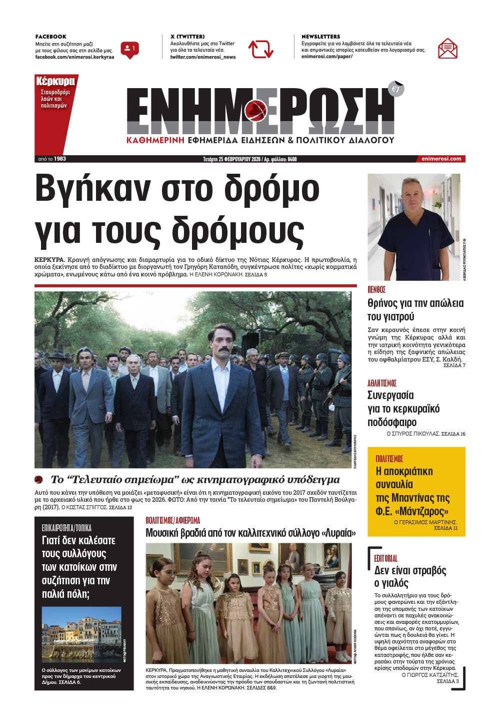
The new health safety map, which was presented by the Digital Governance Minister Kyriakos Pierakakis and Civil Protection Deputy Minister Nikos Hardalais, lists the safety restrictions in all 74 Greek regional units, depending on the degree of risk that is indicated by one of four levels
Level 1 – Green – Low risk
Level 2 – Yellow – Moderate risk
Level 3 – Orange – High risk
Level 4 – Red – Very high risk

Nationwide measures as of today
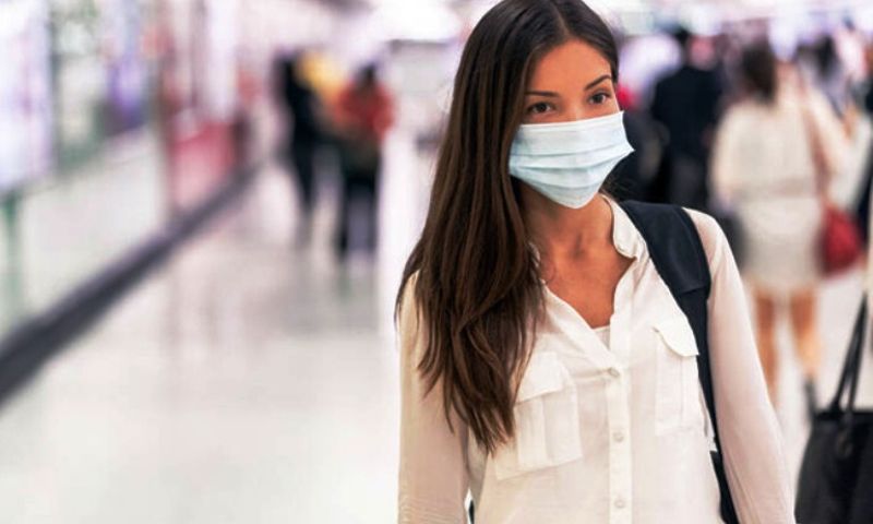
Mask wearing and social distancing measures are the same for all regional units regardless of colour level. Masks are mandatory for all when in a working area of the public and private sector and in crowded outdoor spaces.
All restaurants, bars and cafes in Greece have a curfew and capacity and seating restrictions.
Level 1 (green) – 100 people
Level 2 (yellow) – 50 people
Level 3 (orange) – 9 people
Level 4 (reds) – Outdoor gatherings are banned.
A limit has been set to the number of people allowed at indoor conferences, places of worship and museums:
Level 1 (green) – 1 person per 5 sq.m., up to 200 seats are allowed to be filled.
Museums
– 2 meters distance must be kept between persons
– 1 person per 10 sq.m.
– Group tours are allowed with up to 20 people
– Everyone must wear a mask
Level 2 (yellow) – 1 person per 10 sq.m. at least, up to 100 seats are allowed to be filled.
Museums:
– 2 meters distance must be kept between persons
– 1 person per 15 sq.m.
– Group tours are allowed with up to 10 people
– Everyone must wear a mask
Level 3 (orange) – 1 person per 15 sq.m. at least, up to 50 seats are allowed to be filled (exhibitions are suspended)
Museums:
– 2 meters distance must be kept between persons
– 1 person per 20 sq.m.
– Group tours are not allowed to take place
– Everyone must wear a mask
Level 4 (red) – All conferences are suspended. All archaeological sites and museums will remain closed.
Theatres, cinemas and concerts are allowed to operate under the following capacity:
Level 1 (green) – 65 percent capacity
Level 2 (yellow) – 50 percent capacity
Level 3 (orange) – 30 percent capacity
Level 4 (red) – Only virtual performances will be allowed. All cinemas will remain closed.
Mask wearing by staff and customers at gyms, depending on the Level.
Geographical breakdown of Levels
At present 27 Greek regional units are at the Level 1, 25 at Level 2 and 22 at Level 3. No regional unit in Greece is at Level 4
Level 1 (green): Andros, Arcadia, Arta, Cephalonia, Drama, Evros, Evritania, Ilia, Thassos, Thesprotia, Ithaki, Ikaria, Kavala, Kalymnos, Karpathos-Kasos, Lassithi, Lefkada, Lemnos, Messinia, Milos, Rethymno, Serres, Sporades, Syros, Tinos, Fokida, Chania.
Level 2 (yellow): Aitoloakarnania, Argolida, Viotia, Grevena, Evia, Imathia, Thessaloniki, Corfu, Kilkis, Corinth, Kos, Lakonia, Larissa, Magnesia, Naxos, Xanthi, Paros, Pieria, Preveza, Rodopi, Rhodes, Fthiotida, Florina, Halkidiki, Chios.
Level 3 (orange): East Attica, Achaia, North Sector of Athens, West Attica, West Sector of Athens, Zakynthos, Heraklion, Santorini, Ioannina, Karditsa, Kastoria, Kea-Kythnos, Central Sector of Athens, Kozani, Lesvos, Mykonos, Islands of Attica, South Sector of Athens, Piraeus, Pellas, Samos, Trikala.
In his latest update the Civil Protection Deputy Minister stated, "Based on current data, Attica is not close to being included at Level 4 and we expect results from the implementation of measures. The curve in Attica remains level."
The level attributed to each area is based on the epidemiological data such as increase or decrease in number of case per 100,000 population, use of Health System facilities (e.g. how many beds and ICU beds are in use) and the epidemiological situation as indicated by track and trace data.
The geographical data is for regional units but if circumstances require it, the Health Ministry and Civil Protection Ministry may indicate special measures in local areas within a region.
Data for each region will be searchable in 3 ways: a) entering the postcode b) selecting the region from a menu c) clicking on the region on the map.
The online risk-assessment map will be updated every 14 days in cooperation with Greece’s special committee of infectious disease specialists or any time deemed required according to the epidemiological indicators of an area.
Measures and regulations are subject to amendment based on the latest scientific and research data.
The amendments were deemed necessary due to the change in weather in autumn and winter and the increased risk caused by gatherings indoors.
The new health safety map, which was presented by the Digital Governance Minister Kyriakos Pierakakis and Civil Protection Deputy Minister Nikos Hardalais, lists the safety restrictions in all 74 Greek regional units, depending on the degree of risk that is indicated by one of four levels
Level 1 – Green – Low risk
Level 2 – Yellow – Moderate risk
Level 3 – Orange – High risk
Level 4 – Red – Very high risk

Nationwide measures as of today
Mask wearing and social distancing measures are the same for all regional units regardless of colour level. Masks are mandatory for all when in a working area of the public and private sector and in crowded outdoor spaces.
All restaurants, bars and cafes in Greece have a curfew and capacity and seating restrictions.
Level 1 (green)
Curfew: 1am - 5am
Capacity: 80 percent
Seating: 6 people are allowed at the same table
Level 2 (yellow)
Curfew: 12:30am - 5am
Capacity: 65 percent
Seating: 6 people are allowed at the same table
Level 3 (orange)
Curfew: 12 midnight - 5am
Capacity: 50 percent
Seating: 4 people are allowed at the same table
Level 4 (red)
Suspension of operations of all restaurants, bars and cafes.
Level 1 (green) – 100 people
Level 2 (yellow) – 50 people
Level 3 (orange) – 9 people
Level 4 (reds) – Outdoor gatherings are banned.
A limit has been set to the number of people allowed at indoor conferences, places of worship and museums:
Level 1 (green) – 1 person per 5 sq.m., up to 200 seats are allowed to be filled.
Museums
– 2 meters distance must be kept between persons
– 1 person per 10 sq.m.
– Group tours are allowed with up to 20 people
– Everyone must wear a mask
Level 2 (yellow) – 1 person per 10 sq.m. at least, up to 100 seats are allowed to be filled.
Museums:
– 2 meters distance must be kept between persons
– 1 person per 15 sq.m.
– Group tours are allowed with up to 10 people
– Everyone must wear a mask
Level 3 (orange) – 1 person per 15 sq.m. at least, up to 50 seats are allowed to be filled (exhibitions are suspended)
Museums:
– 2 meters distance must be kept between persons
– 1 person per 20 sq.m.
– Group tours are not allowed to take place
– Everyone must wear a mask
Level 4 (red) – All conferences are suspended. All archaeological sites and museums will remain closed.
Theatres, cinemas and concerts are allowed to operate under the following capacity:
Level 1 (green) – 65 percent capacity
Level 2 (yellow) – 50 percent capacity
Level 3 (orange) – 30 percent capacity
Level 4 (red) – Only virtual performances will be allowed. All cinemas will remain closed.
Mask wearing by staff and customers at gyms, depending on the Level.
Geographical breakdown of Levels
At present 27 Greek regional units are at the Level 1, 25 at Level 2 and 22 at Level 3. No regional unit in Greece is at Level 4
Level 1 (green): Andros, Arcadia, Arta, Cephalonia, Drama, Evros, Evritania, Ilia, Thassos, Thesprotia, Ithaki, Ikaria, Kavala, Kalymnos, Karpathos-Kasos, Lassithi, Lefkada, Lemnos, Messinia, Milos, Rethymno, Serres, Sporades, Syros, Tinos, Fokida, Chania.
Level 2 (yellow): Aitoloakarnania, Argolida, Viotia, Grevena, Evia, Imathia, Thessaloniki, Corfu, Kilkis, Corinth, Kos, Lakonia, Larissa, Magnesia, Naxos, Xanthi, Paros, Pieria, Preveza, Rodopi, Rhodes, Fthiotida, Florina, Halkidiki, Chios.
Level 3 (orange): East Attica, Achaia, North Sector of Athens, West Attica, West Sector of Athens, Zakynthos, Heraklion, Santorini, Ioannina, Karditsa, Kastoria, Kea-Kythnos, Central Sector of Athens, Kozani, Lesvos, Mykonos, Islands of Attica, South Sector of Athens, Piraeus, Pellas, Samos, Trikala.
In his latest update the Civil Protection Deputy Minister stated, "Based on current data, Attica is not close to being included at Level 4 and we expect results from the implementation of measures. The curve in Attica remains level."
The level attributed to each area is based on the epidemiological data such as increase or decrease in number of case per 100,000 population, use of Health System facilities (e.g. how many beds and ICU beds are in use) and the epidemiological situation as indicated by track and trace data.
The geographical data is for regional units but if circumstances require it, the Health Ministry and Civil Protection Ministry may indicate special measures in local areas within a region.
Data for each region will be searchable in 3 ways: a) entering the postcode b) selecting the region from a menu c) clicking on the region on the map.
The online risk-assessment map will be updated every 14 days in cooperation with Greece’s special committee of infectious disease specialists or any time deemed required according to the epidemiological indicators of an area.
Measures and regulations are subject to amendment based on the latest scientific and research data.


