Unprepared for the town’s biggest-ever private investment
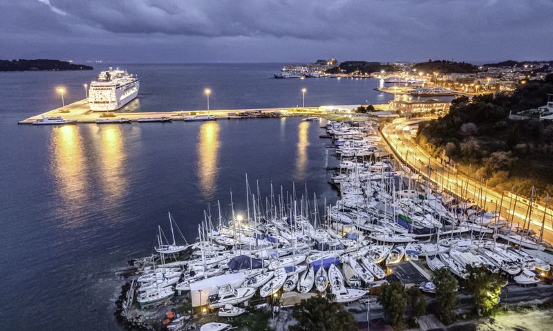
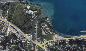
CORFU. The investment by Corfu Port Authority is referred to in the Local Urban Plan’s scenarios and maps drawn up so far, but the planned land reclamation, the new shoreline, the possibility of expanding the site to 100 stremma, or the relocation of the boatyards to Potamos Bay are not reflected. There are also reports that the boatyard owners are being asked to waive any claims they may have against LAMDA.
A serious gap between the signed agreement for Corfu Port Authority's (OLKE) mega yacht marina and the Local Urban Plan currently being prepared is revealed by an examination of the contractual terms and the maps for the three alternative scenarios.
The marina is explicitly included in all three scenarios as a project already in the pipeline. On the maps, however, the actual investment plan, the land reclamation works, the new coastline and the 39.4-stremma land zone are not shown. Nor is the possibility of expanding the development to 100 stremma.
The new location for the boatyards is also absent, even though their removal from the current site is a suspensive condition of the agreement and a prerequisite for the start of the sub-concession.
The marina exists only in name
The “Mega Yacht Marina and other Corfu Port Authority projects” is included among the common interventions in all three scenarios of the Local Urban Plan. The mere reference to it, however, does not amount to its substantive integration into the spatial planning framework.
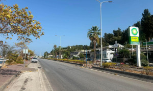
The published maps contain no outline of the area being sub-conceded, do not distinguish between the existing and future coastline, and do not show the works required offshore.
In other words, the planners acknowledge in words that the marina is to be built, but continue to map the area without incorporating the plan on which the agreement between the State, TAIPED, OLKE and LAMDA was based.
Almost half of the land area is currently sea
The 39,400-square-metre land zone described in the investment does not currently exist entirely as land. Of the 39.4 stremma, 19.75 stremma are expected to be created through land reclamation, while the existing land area amounts to approximately 19.65 stremma.
Thus, almost half of the final land zone will be created through port works that will alter the coastline. This change is not reflected in any of the three Local Urban Plan maps.
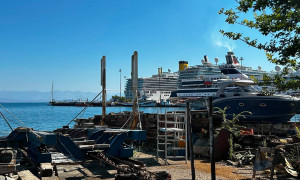
LAMDA describes an investment with 410 berthing positions for vessels of up to 140 metres in length. The land zone will include retail outlets, restaurants and other food-service facilities, a hotel, offices, sports facilities, green spaces, pedestrian areas, parking and a boat-maintenance zone.
It is therefore a complex tourism, commercial and port development, rather than simply the construction of berthing facilities.
The unknown 100-stremma expansion
An even bigger question is raised by the possibility of expanding the land zone. From the launch of the tender, TAIPED stated that the 39,400-square-metre area could be expanded to approximately 100,000 square metres.
The difference amounts to an additional 60.6 stremma. Yet the Local Urban Plan maps contain no second outline, expansion zone or other indication showing where this additional area could be developed.
It is not clarified whether the expansion would result from further land reclamation or from the occupation of other parts of the port’s land zone. Nor is it apparent whether it could extend towards Ethnikis Antistaseos and Potamos Bay.
The reference to the possibility of expansion does not, in itself, mean that LAMDA has acquired an unconditional right to develop the entire 100 stremma. That will depend on the full contractual and cartographic annexes. What is certain is that the possibility was presented as a feature of the investment, but is not reflected in the Local Urban Plan.
Removal of the boatyards is a prerequisite
The agreement is clear regarding the handover of the area. Clause 4.1.3 makes the following a suspensive condition for completion of the transaction:
“The removal from the Sub-Concession Area of the holders of spaces within the Marina, at the sole responsibility and expense of OLKE, within the framework of existing OLKE contracts.”
Consequently, the removal of the boatyards is not a side issue. It is a contractual prerequisite for handing the area over to the investor and for the sub-concession period to begin.
The explanatory report accompanying the ratifying law further states that the cost of the measures required to remove the occupants is to be borne by OLKE and estimates it at approximately €30,000. This amount concerns the removal process itself and not necessarily the creation of fully equipped new facilities.
LAMDA may shape the new site
Law 5244/2025 also reveals a crucial detail concerning the relocation. The Port of Potamos Bay is designated as the new site, with its land and sea zones having been defined in 2024.
In order to fulfil the suspensive condition concerning the removal of the boatyards, LAMDA may undertake the works required to develop the new port, to the extent and with the content specified by OLKE.
The cost may be offset against the fee payable by the company to the Port Authority. If the available funds are insufficient, OLKE may also grant LAMDA another contractual right, including the right to use part of the Port of Potamos Bay, as consideration for carrying out the development works.
This means that the company acquiring the current boatyard site may also participate in developing their new location and, subject to certain conditions, acquire the right to use part of it.
Despite the provision’s contractual and financial significance, neither the relocation port nor the necessary facilities are shown on the Local Urban Plan maps.
No provisions in the urban plan
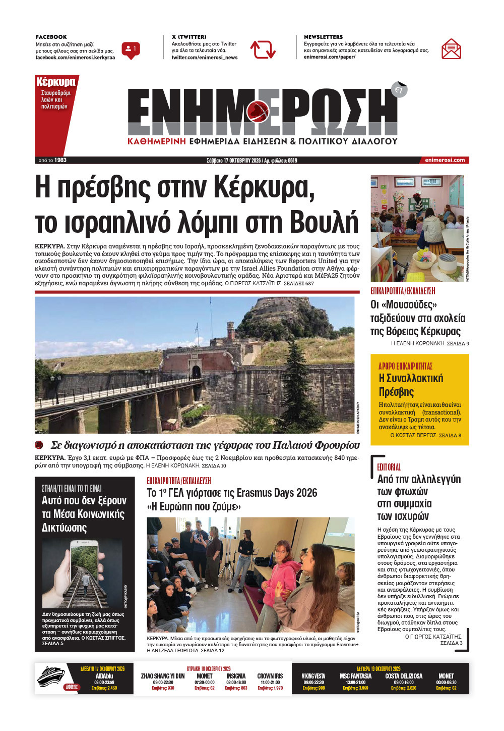
The three scenarios contain no specific zone for shipbuilding and ship-repair activities at Potamos Bay. They do not show slipways, quays, work areas, vessel access, environmental measures or traffic arrangements.
Nor do they clarify how the facility would connect with the “Emporiko” area and the Ethnikis Antistaseos car park, or what will happen to the existing public parking area.
The gap is all the more striking because the same Local Urban Plan proposes, in all three scenarios, the urban development of Potamos, Kanali, Alepou and Kontokali as suburbs of the town. The intervening area is intended to be organised with land uses compatible with residential development and with the aim of avoiding conflicts between different land uses.
It is therefore expected to accommodate a boatbuilding and boat-repair operation without that use having been visibly incorporated into the planning framework.
Reports of a waiver of claims
According to information obtained by Enimerosi, the boatyard operators are being asked, as part of their removal and relocation, to declare that they waive any claim or demand against LAMDA.
If this information is confirmed by the exact text they have been asked to sign, it will need to be clarified which rights they are being asked to relinquish and whether the declaration is a prerequisite for their relocation.
It has also not been clarified whether the waiver concerns only their departure from the current site or also covers potential claims for loss of income, relocation costs, disruption to operations and deficiencies in the new facility.
The businesses therefore appear to be being asked to leave their existing site, relocate to a facility that does not yet appear on the maps, and at the same time waive potential claims against the company acquiring the land.
The deadline and the construction site
The agreement does not set a separate date specifically described as the “establishment of a construction site”. It does, however, link the handover of the marina and the commencement of the sub-concession to the prior removal of the existing occupants.
The original Clause 4.3 provided that the suspensive conditions had to be fulfilled within 180 days of the signing of the agreement, with the possibility of two extensions of up to three months each. The agreement was signed on 30 October 2024, but was ratified by Parliament and published on 3 November 2025, after the expiry of that initial period. This means that an extension or subsequent agreement between the parties must have taken place, although the precise timetable cannot be established from the published documents.
According to information received, November 2026 is being treated as the practical deadline for vacating the site and establishing the construction site. This date, however, cannot be found as an explicit milestone in the published text of the agreement and requires official confirmation from OLKE and LAMDA.
Until these questions are answered, the Local Urban Plan appears to recognise the marina only in its written text, while planning the northern waterfront of the town without reflecting the investment’s actual spatial and professional implications.
GIORGOS KATSAITIS